


 |
| We hiked the Bog Springs trail to Kent Springs. |
 |
| There were a dozen hikers. We stopped several times during the steep elevation gains. |
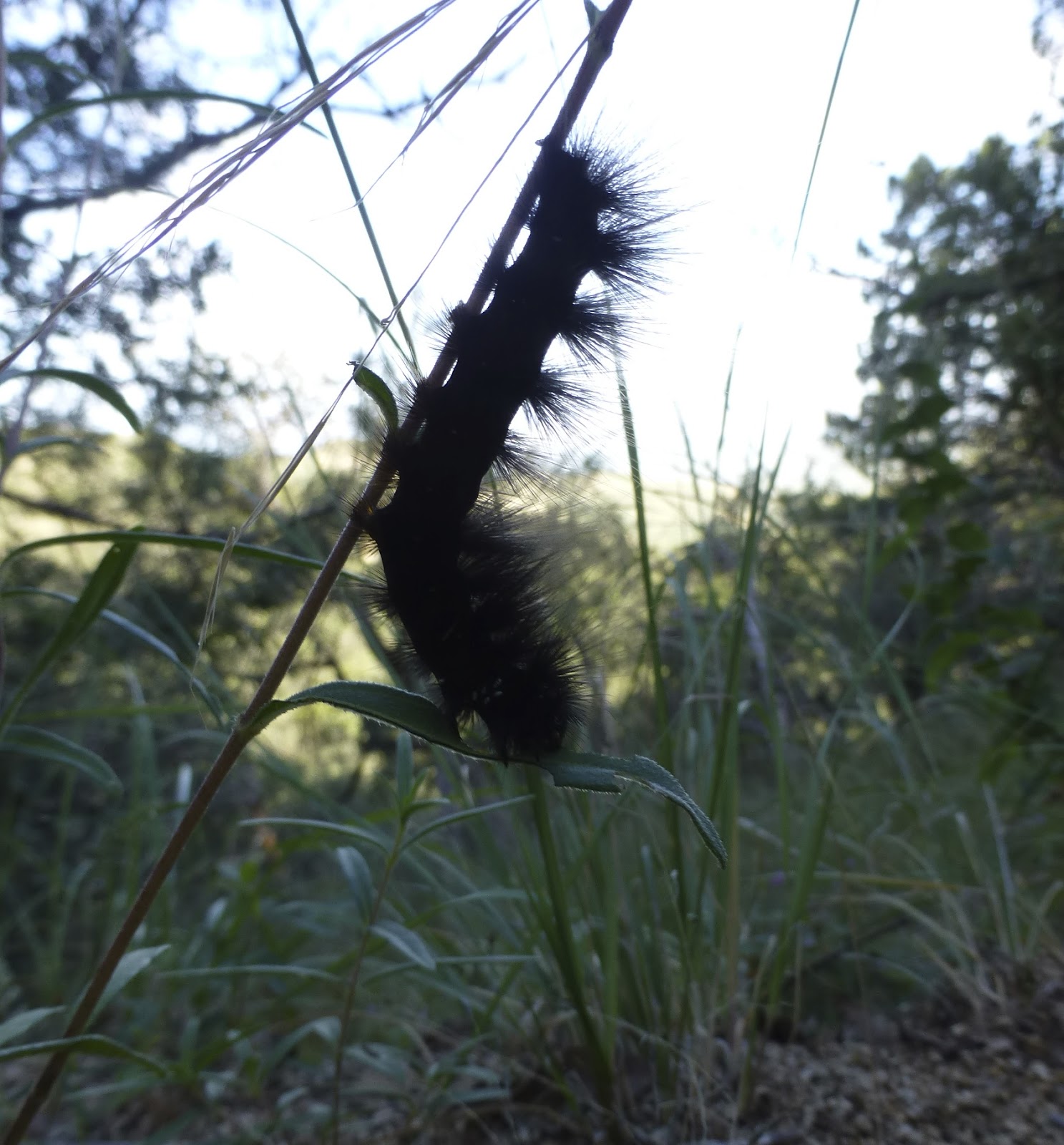 |
| Hungry caterpillar. |


 |
| Hearts in nature. |

 |
| Our hike leader, Ed. He likes to tell jokes as we hike. |

 |
| Horned lizard. |


 |
| In the distance is where I live: the towns of Sahuarita and Green Valley. |


 |
| Love the boulder field here. |

 |
| At Kent Springs, there is a peach tree. |
 |
| Peach tree. |


 |
| After our snack break at 6378', we begin the descent. |
 |
| A helping hand. One of our hikers fell and had some minor injuries. |
 |
| Highest elevation: 6378', lowest elevation: 4717', accumulative ascent: 2145', elevation gain: 1661'. |
 |
| 6 miles (I believe it would have been about 6.5-7 but we cut the hike short to help our injured hiker). This is a moderate hike but one I'll do again. YTD: 62.4 miles. |
No comments:
Post a Comment