


 |
| Looking up. |
 |
| Part of Yavapai Point Trail parallels Pipeline Canyon Trail, on the other side of the canyon. |


 |
| Saguaro cactus fruit. The Tohono O'odham call the fruit "bahidaj". |
 |
| A grasshopper color coordinated to his environment. |


 |
| I don't recall seeing as much saguaro cactus fruit as I have this summer. |

 |
| Looking back on our way up. |

 |
| My hiking buddy Frank, doing Frank things. |
 |
| Prints. |


 |
| Looking down on Pipeline Canyon Trail at the bridge that crosses the water. |
 |
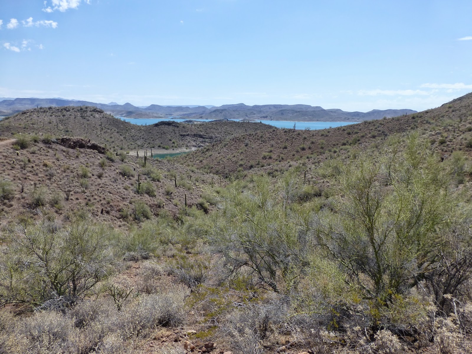
| The view from the top, also where we had our snack. |
 |
| Frank at the top. |
 |
| Me at the top. |


 |
| Me, on our way down. |


 |
| Lowest elevation 2003 ft, highest elevation 2382 ft, for an elevation gain of 379 ft. |
 |
| To find the Yavapai Point Trail, park at the North end of the Pipeline Canyon Trail, from this trail you'll find the trailhead signs to Yavapai Point Trail. |
 |
| Today's hike was 3.2 miles. (YTD: 76.3 miles) |
No comments:
Post a Comment